Images of Historic New Castle, Delaware, and John Gossett's Land (continued)
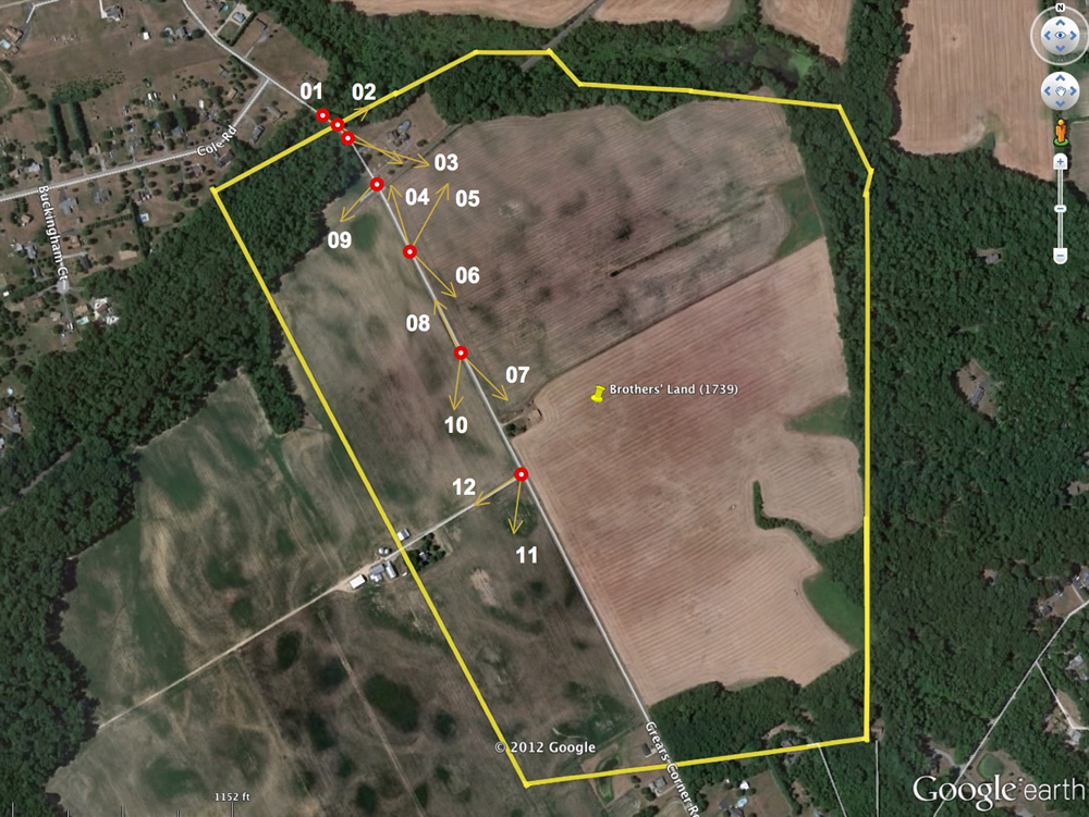
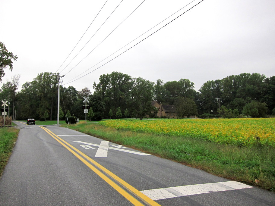
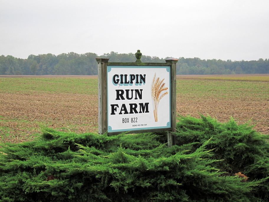
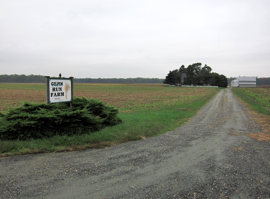
Our ancestors , John Gossett and his wife, Jane Williamson (Willemsen), owned land, 25 miles south of New Castle, in the first quarter of the 1700s. Its modern address would be approximately 884 Grears Corner Road, Townsend, DE. In the image below, the yellow line shows the boundaries of John Gossett's 207 acres (from a 1739 survey commissioned by his sons, James and William). It's still farmed today -- ca. 300 years after John farmed it. The red points show locations and camera directions of subsequent images on this page.
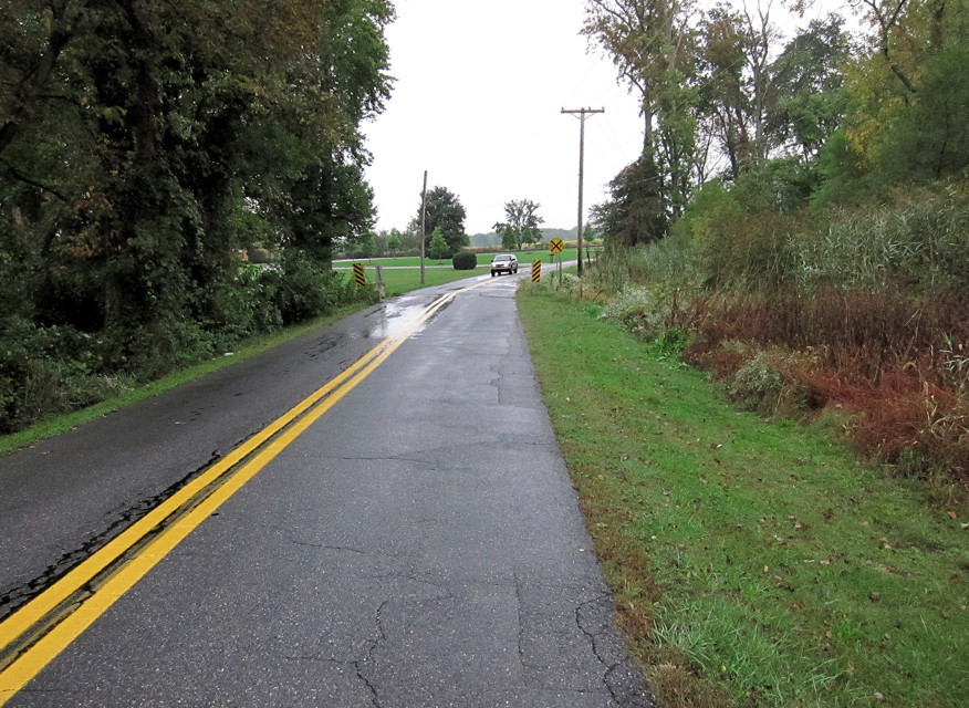
01. Northern boundary, looking SE.
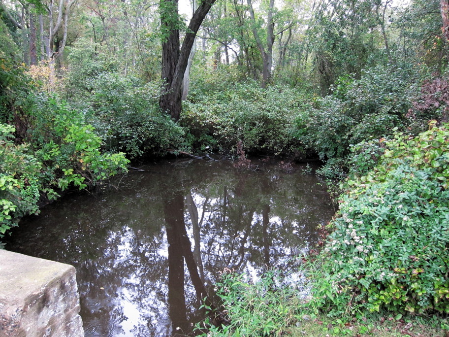
02. Gilpin's Run, looking ENE.
03. Northern portion, looking ESE.
04. Northern portion, looking N.
05. Northern portion, looking NNE.
06. Northern portion, looking SE.
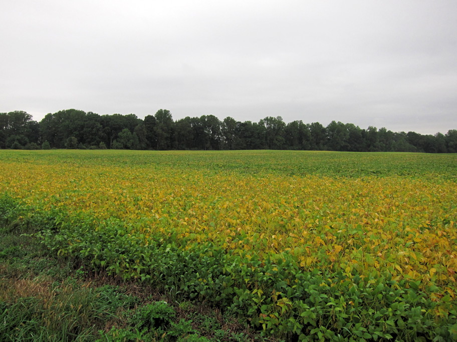
07. Mid portion, looking SE.
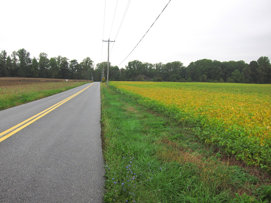
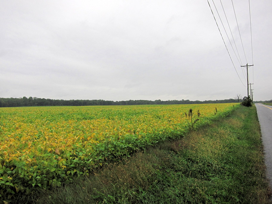
08. Mid portion, looking NNW.
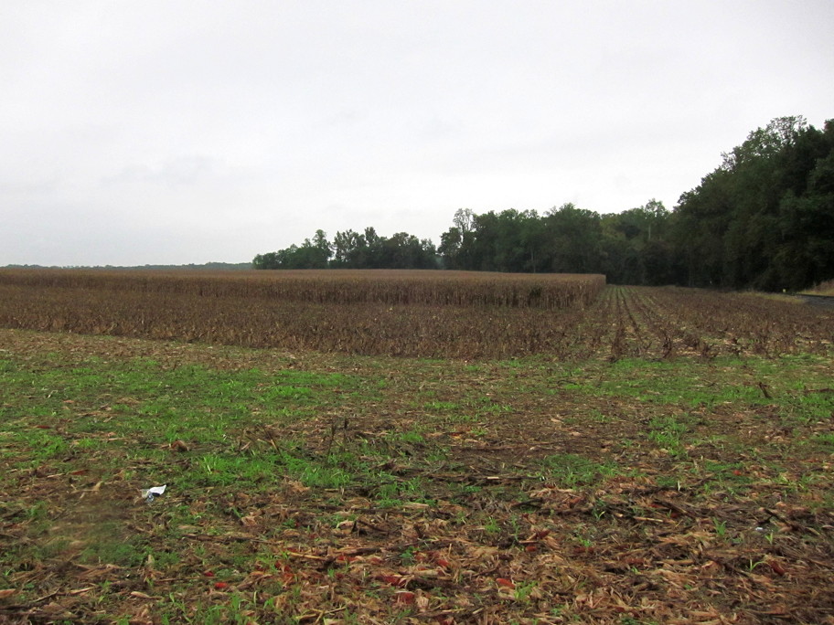
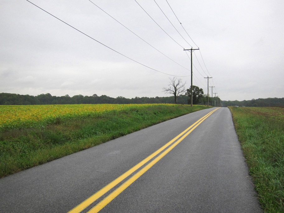
09. Northern portion, looking SW.
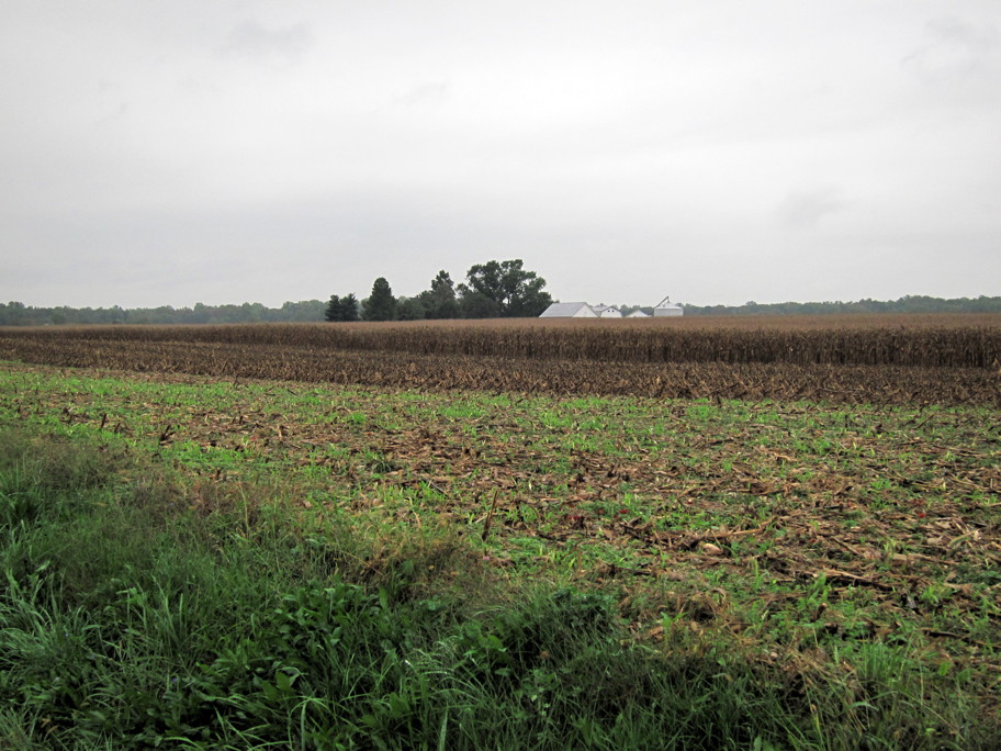
10. Northern portion, looking S.
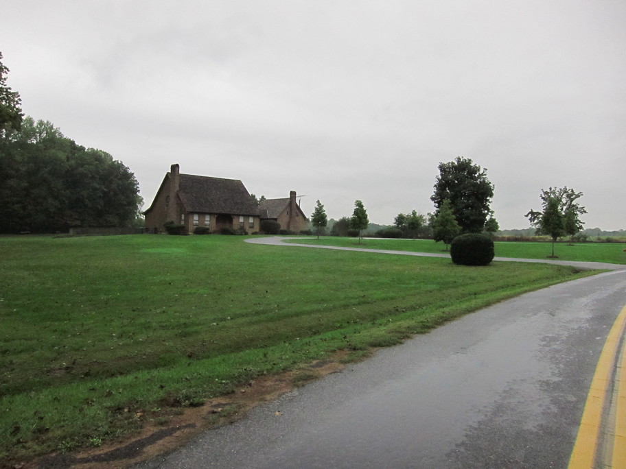
11. Mid portion, looking S. Approx. address (Google Maps) is 812 Gears Corner Rd., Townsend, DE.
12. Mid portion, looking SW.
![]() Images of Historic New Castle
Images of Historic New Castle